Sarah wants to warn us about bad weather in space

Sarah Schultz Beek - Arctic Hub

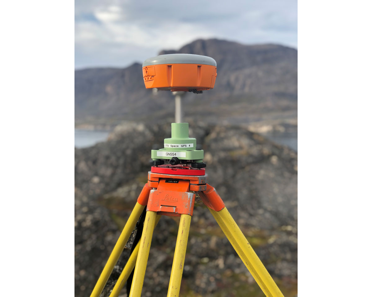
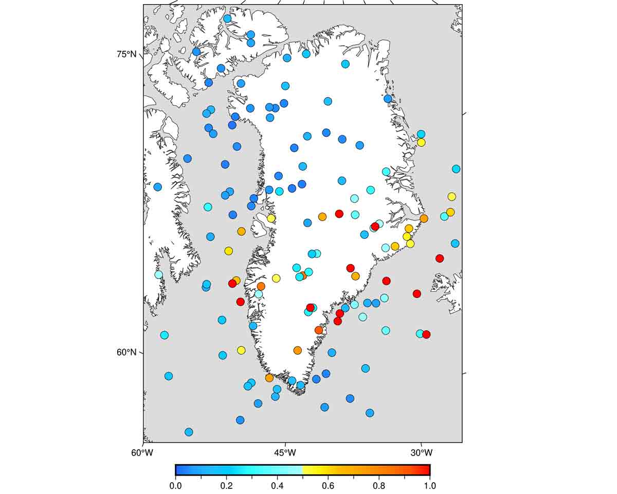
Sometimes bad space weather causes our communication systems to break down – particularly in the Arctic. For this reason Ph.D. fellow Sarah Schultz Beeck is developing maps, showing where in Greenland the space weather causes bad or no connection.


By Signe Ravn-Højgaard


In an emergency situation out at sea or in the mountains, it can be very critical if neither the satellite telephone or the VHF radio work, while the GPS cannot determine where you are. Such situations can arise due to fallout in our communication systems caused by bad space weather. And in fact, this happens many times a year.


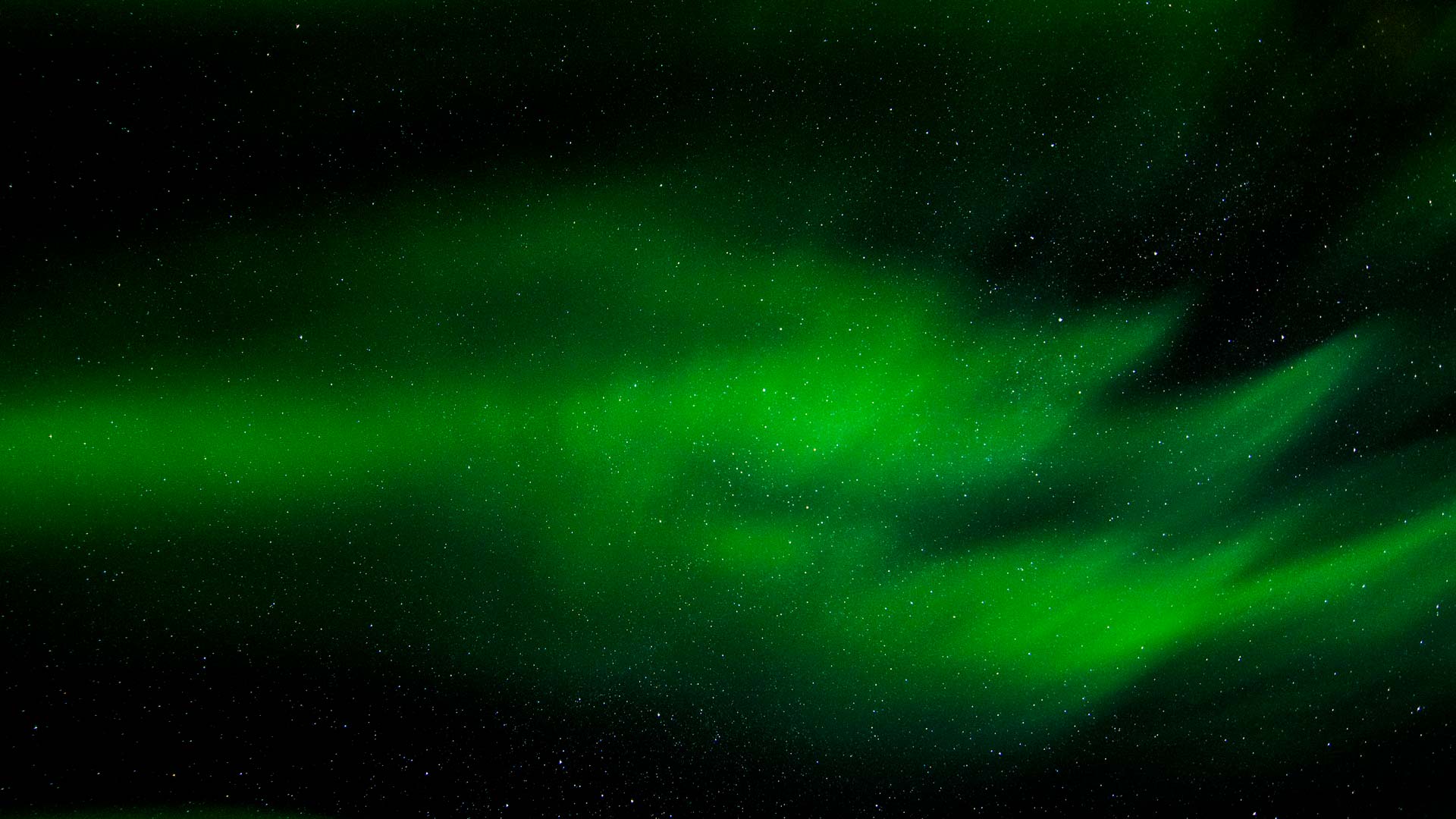
“Space weather is activity from the sun that affects people and technology. It can for example consist of solar winds and solar bursts, where charged particles hit the outer layer of the Earth’s atmosphere, called the ionosphere. This creates disturbances in the Earth’s magnetic field and in those of our communication systems that rely on radio frequencies, such as GPS receivers, satellite phones and VHF radios,” explains Sarah Schultz Beeck, Ph.D. fellow at Technical University of Denmark.

Sarah Schultz Beek - Arctic Hub

PhD student Sara Schultz Beek is taking a break while she’s in the field, checking on the receivers that she uses to gather data for her research.

The largest disturbances occur in the polar regions, and rather frequently cause the communication systems in Greenland to fallout for 15 minutes or several hours. During this period the communication might not work at all or be unreliable and unprecise.


Mapping the space weather above Greenland

For this reason, Sarah Schultz Beeck attempts to map where in Greenland, the space weather is bad. She is developing a map that through colour codes should warn people where they should be wary if they are very dependent on radio communication works.


The long-term aspiration is to make space weather forecasts, predicting how the space weather is going disturb gps and radio communication. However, it is difficult to predict more than a few hours ahead. But before this is possible, Sarah Schultz Beeck has to develop real time maps.

Sarah Schultz Beek - Arctic Hub - GNSS satellite receiver - Greenland research

A GNSS satellite receiver which – by receiving GPS signals from the satellites above Greenland – can determine how many disturbances in the space weather there will be. It is data from theses satellite receivers that PhD student Sarah Schultz Beek is using to develop a useful map of the space disturbances that can be shared with the public. Photo: Sarah Schultz Beeck

“The real time maps should enable us to see how the disturbances that occur right now and how they have developed in the past. This can indicate the level of solar activity at the moment and consequently whether disturbances are likely in the near future,” Sarah explains.


More disturbances in the future

Placed all around Greenland, seven research satellite receivers measure disturbances by connecting to some of the 60 satellites orbiting over Greenland. This is the data Sarah Schultz Beeck is transforming into maps, showing us the location and severity of disturbances.


One of the challenges she faces in order to make the maps useful for the Greenlandic population, is find to out, how severe the disturbances should be before they create problems for the types radio communication and positioning via e.g. gps system that people actually use in Greenland. There are large differences across different types of communication equipment on how sensitive different are to the disturbances.


“Space weather is activity from the sun that affects people and technology,” Sarah Schultz Beeck


She explains that the sun has a cycle of 11 years wherein solar activities increase and decrease. Just now, we are nearing the most active period – and therefore we can expect more disturbances in the years to come, which makes the map more vital.


Sun bursts do not just cause disturbances to our communication. It also causes northern light – so on the positive side we can also expect more northern light in Greenland in the coming years.

Sarah Schultz Beek - Arctic Hub - data points

This map shows the data points Sarah is using to create a map of space disturbances. The red dots are the places where the highest disturbances are measured.